
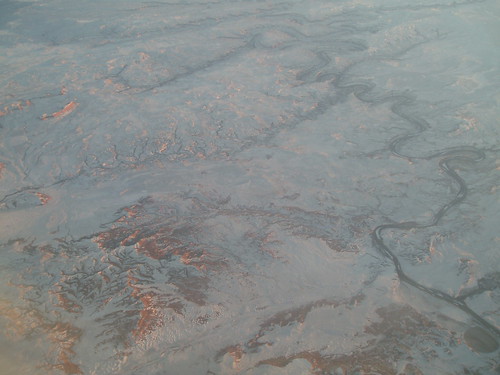
When I fly, I'm obsessive about identifying features on the ground. Going up to Seattle or Portland, it's easy--lots of distinctive volcanoes to navigate by--but flying back east for Christmas, there was a lot of unfamiliar territory; once we lost sight of Mono Lake, I had only a very general idea of where we were. I shot a few pictures of what I guessed were probably parts of Utah (but I was only guessing), with little hope of ever identifying them with more precision.
So imagine how excited I was when, playing around with Google Maps, I was able to pin down locations. Below the fold is a Google satellite image showing the river squiggle at the top of this picture (I was looking south when I shot it, so it's inverted from the satellite image).
More...
View Larger Map
Yes, I am a geek...and I don't care who knows it.
Thursday, January 08, 2009
Fun With Aerial Views
Subscribe to:
Comment Feed (RSS)
|